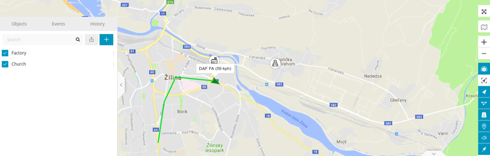
To check distance between 2 or more points, click Tools->Ruler and start clicking on the map.
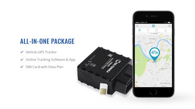
POI - point of interest. These are the icons that you can put anywhere in the map and create label for it. POI import file format is .KML.
With this tool you can see point on the map by entering coordinates or address.
Shows an address by coordinates.

Smart Transportation Conference & Exhibition 2025
Date:May 30, 2025
Location:Virtual

TelematicsCEEurope
Date:September 15, 2022
Location:Ljubljana, Slovenia

AWS Summit Berlin
Date:February 26-27, 2019
Location:Berlin, Germany

CES in Las Vegas
Date:January 08-11, 2019
Location:Las Vegas, USA

CEBIT 2018
Date:June 11 – 15, 2018
Location:Hannover
 Back
Back