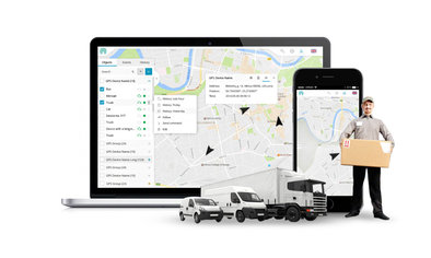
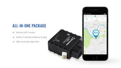
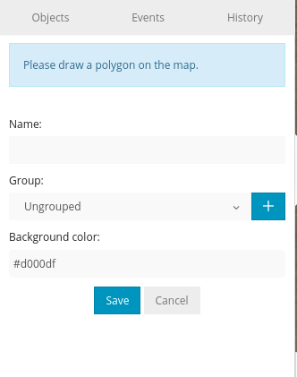
To create a new geofence, click Tools->Geofencing->Add geofence. Type in geofence name and select it's color, then click on the map to begin drawing geofence. When you finish drawing geofence, duoble click the last point and click Save.
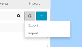
To import or export geofence click the button with a gear icon:
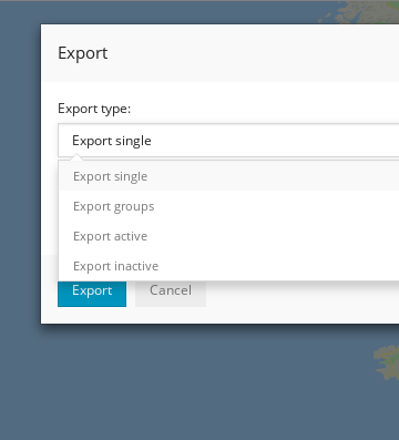
It is a simple text file that has following structure.
Example (single):
{"groups":[],"geofences":[{"id":1130,"group_id":0,"name":"vn","coordinates":"[{\"lat\":48.108348176168,\"lng\":14.284973144531},{\"lat\":48.111099041065,\"lng\":14.403076171875},{\"lat\":48.035855735787,\"lng\":14.400329589844}]","polygon_color":"#a34949"}]}
Format:
"groups" - name of the group geofence belongs. Emtpy [ ] means ungrouped.
"geofences" - list of geofences. Inside it requires "id", "group_id", "name" and "coordinates" to be filled. "Coordinates" requires a list of "lat" and "lng" of coordinates to be filled.
"polygon_color" - color in html hex code.

Smart Transportation Conference & Exhibition 2025
Date:May 30, 2025
Location:Virtual

TelematicsCEEurope
Date:September 15, 2022
Location:Ljubljana, Slovenia

AWS Summit Berlin
Date:February 26-27, 2019
Location:Berlin, Germany

CES in Las Vegas
Date:January 08-11, 2019
Location:Las Vegas, USA

CEBIT 2018
Date:June 11 – 15, 2018
Location:Hannover
 Back
Back